This next section of the Azadi Far Ride to the Murray is a bit of a stretch. Due to patchy reception it’s been sometime since the last update.
Day 1 – 38 km
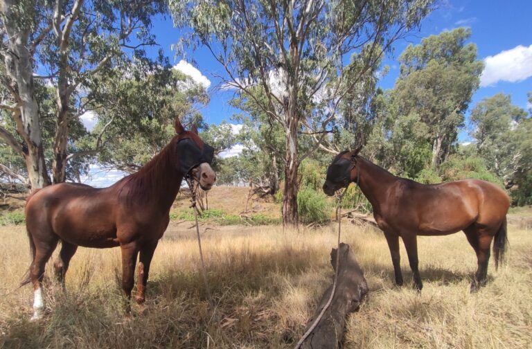
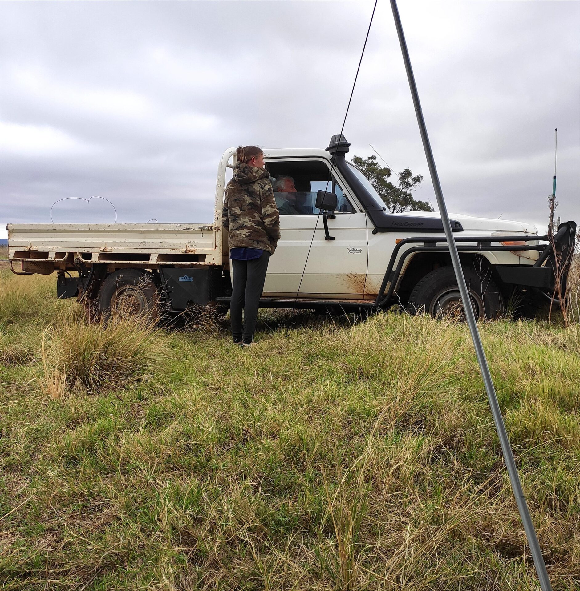
Starting from Narrabri, we ventured along the Jacks Creek Road stock route, just south of the highway. This route now seemed like it was being reclaimed by forest. Along the way, we found only one dam (~10km) along this section, with scarce feed. But then came the challenge of crossing the railway line and highway with it’s overpass/underpass. Upon reaching Turrawan and catching up with the support driver, I asked them to scout the northern stock route section along Old Gunnedah Rd. Thankfully, it proved to be a much smoother stock route. It offered better grazing, reliable water, and a pleasant rest area by the river. So, we’ve updated our map to include this recommended alternative section. Our midday break was at Tullen Mullen Creek, and our day’s end was a warm welcome at “Huntly” in Harparary, hosted by the gracious “Hunters.” We enjoyed a delightful evening of hot showers, dinner, delving into discussions on stock routes, gas pipelines, polocrosse, and soil science!
Day 2 – 25km
Continuing onward towards Boggabri, we found ourselves once again battling cactus. Every 20 minutes, we were deplucking ourselves from prickly encounters. Eventually, we decided sticking closer to the highway was the lesser pain. Approaching Boggabri, we encountered many stock routes marked with “Boggabri Mine” signs and locked up, limiting our options. Nevertheless, we found safe travel along the road. However, upon reaching the Mine’s access road and railway, a locked gate greeted us. The stock reserve dam was also inaccessible. With no way through the locked gate and no phone reception to reach the Mine or the TSR ranger, we found ourselves at a loss and had to take the narrow highway underpass. But, a section of the reserve held archaeological treasures, a delightful surprise. Our midday rest was once again by the Namoi River, followed by a night’s stay with a gracious local host, providing a paddock for the horses. This originally unplanned stop turned out to be a blessing, as I’ll elaborate in the next day’s chronicles.
Day 3 – 23km
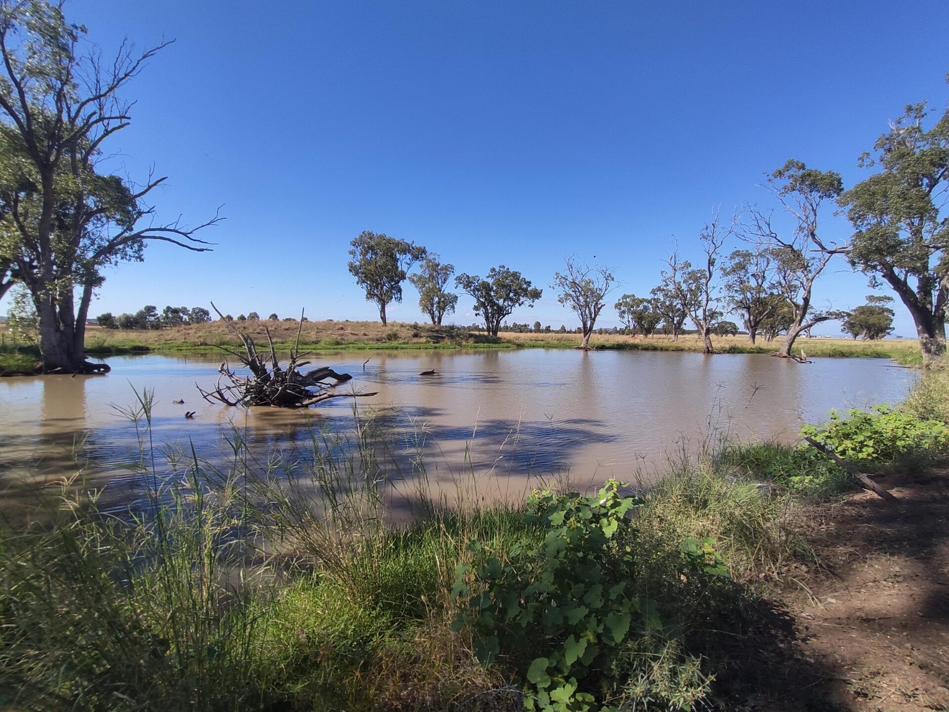
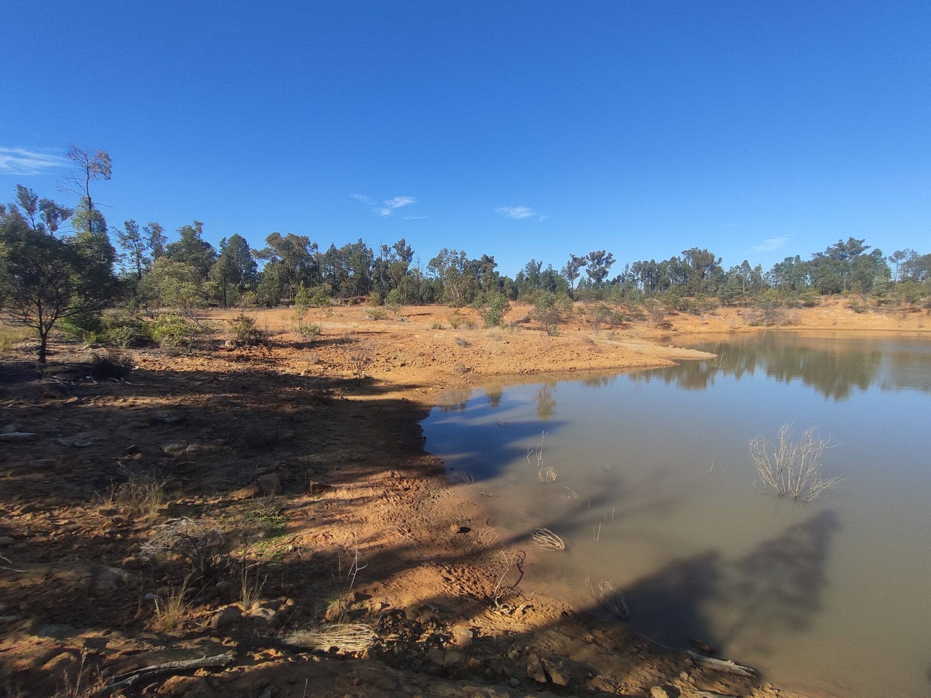
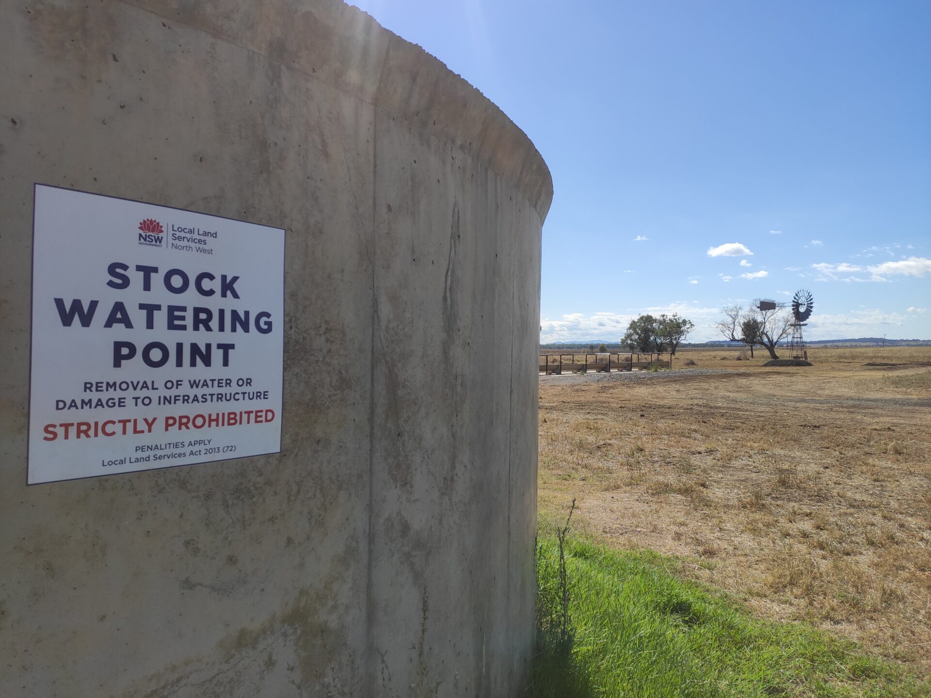
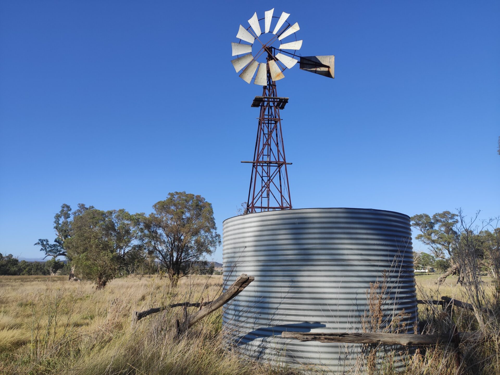
Departing from Boggabri, we faced the challenge of a supposedly dry stretch along Grain Valley Rd. However, a chance encounter with a local drover just outside Boggabri shed light on the stock route’s water conditions until Mullaley. Initially we considered bypassing Boggabri for Coxs Creek (35km). The drover’s information, along with our own observations, revealed the creek, tanks, and troughs at Coxs Creek were bone dry. The windmill, seemingly in perfect condition, failed due to a disconnected pipe. This trend of pipe disconnections seemed all too common, a recurring headache on our journey and I only wish I’d brought the right tools to fix it. Luckily, the support driver had left water for the horses, a relief on a warm day. Pushing forward, we stumbled upon a picturesque stock reserve with two lively dams, teeming with fish, turtles, and birds amidst lush greenery. Looking back, this spot would have made for an excellent extended stay.

Day 4 – 27km
Leaving the verdant reserve behind, we headed south towards Mullaley. Our first water source at Quia Creek turned out to be contaminated with poisoned grain, likely aimed at feral pigs. Undeterred, we pressed on to Ghoolendaadi reserve (9km), where we found a pristine trough and tank, recently maintained with windmill. Thankfully our plans to stay here also changed. We would have been thwarted by the site’s current use as a worksite, crowded with equipment and asphalt piles. Another stock reserve along Coxs Creek’s dry edge hinted at recent cattle activity, with evidence of moist troughs and fresh cow pats. Alas, both tanks were empty, one appearing relatively new. Investigating the windmill, we found its connecting pipe coiled up on the grass, intentionally disconnected. Drovers on the way shared tales of local farmers disconnecting windmills fearing they’d deplete the water table. Once again, I regretted not having the tools to mend such deliberate sabotage. Thankfully, a park tap in Mullaley offered respite, providing a well-deserved drink for the horses. We settled in the reserve behind the school, noting another nearby stock reserve with potential water access and the cattleyards, across the bridge west. Generous locals, including the school caretaker, offered assistance, providing access to taps to refill and refresh the horses. They mentioned the route’s frequent use by cattle, particularly during dry spells.
Day 5 – 21km
Leaving Mullaley behind, we hastened towards Tambar Springs. As we ascended, my maps hinted at a 200m rise and fall ahead. En route, we stumbled upon a lost wallet in Mullaley, prompting a brief detour to return it. Unfortunately, its owner had recently moved, so we carried it along, planning to hand it over at the next town’s police station (this ended up being Dunedoo). A stock reserve with a windmill and dry tanks marked our path, highlighting the day’s water scarcity until Tambar Springs. Upon arrival, we were met with more dry tanks at the reserve where we intended to rest.
Day 6 – 47km
This section would test anyone’s endurance with its length, hills, and arid terrain. We had recently resolved that stopping near water each night was optimal, ensuring our horses’ well-being and our own peace of mind. Choosing the Black Stump Way rest area for our overnight halt, we found a stock reserve dam nearby (though a bit murky) and water tanks in the rest area. Most farm gates along the way featured cattle grids without side gates, making it challenging to ask for water along the way. I hesitated to tether the horses near these grids, opting against a kilometer-long trek down unknown dirt driveways to request water. For those seeking a shorter day’s ride to water, Premer (15km from Tambar) offered a campground and water access.
Day 7 – 28km
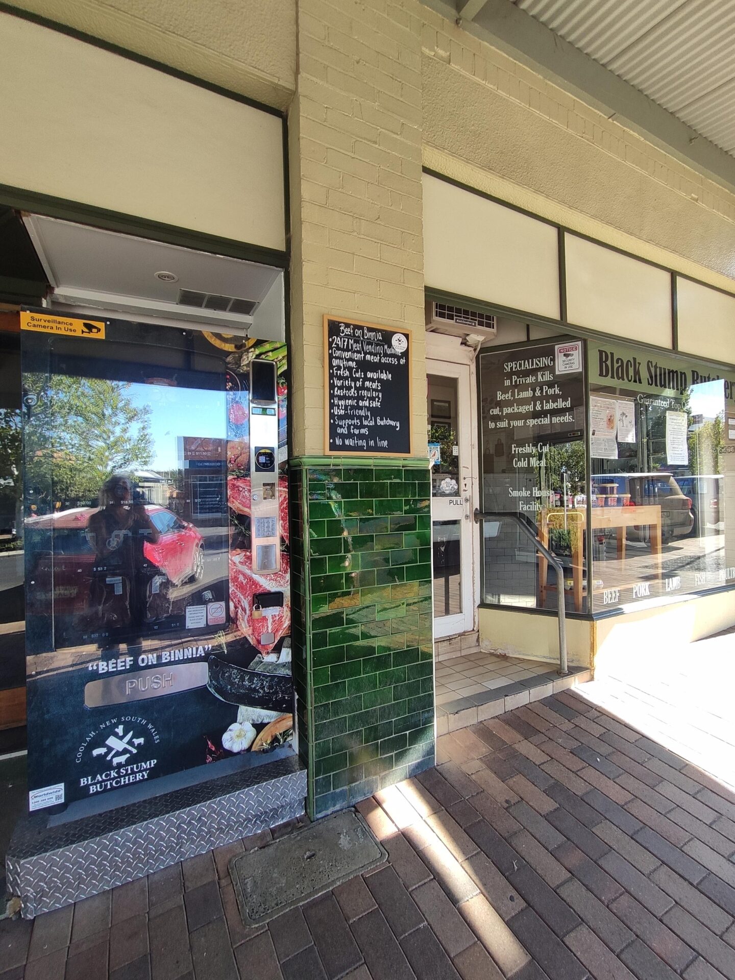
This leg was mostly downhill now. Surpassing Coolah due to the Easter Long Weekend bustle, we searched in vain for a water-providing resting spot. However, a few kilometers outside Coolah, we stumbled upon a stock reserve water point boasting good grazing and a half-full tank. Yet, the windmill here had suffered the fate of many, its pipe disconnected. Nearby, the river also promised ample water, though access required crossing the bridge to the other side. This serendipitous find became our haven for a couple of restful days, as we replenished our supplies in Coolah, even witnessing a nearby butcher vending machine. Our days of rest were a mix of art, repairs, and well-deserved massages, amidst sporadic rainfall.

Day 8 – 15km
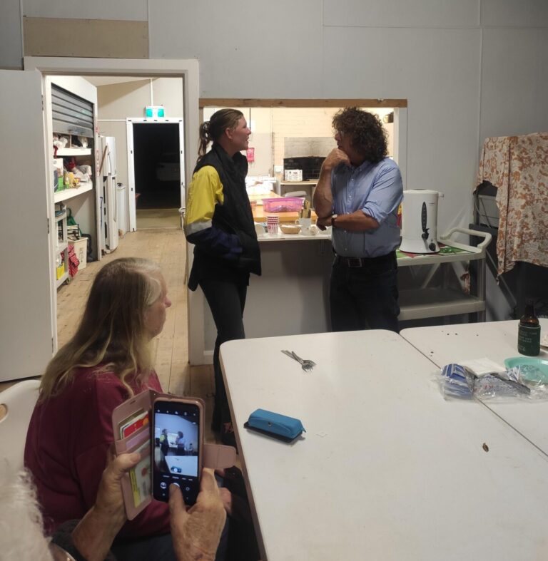
Setting off from our serene spot west of Coolah, we aimed for Leadville. Originally planning to stay at the end of the southern stock reserve, we changed course upon a local farmer’s advice. The farmer warned of a lack of water along the intended route and suggested an alternative along the highway. Still, we decided to explore the original stock route behind Leadville. After a slight detour (AKA – we got lost because we didn’t load the map when we had reception) to find its beginning, we discovered dry dams halfway through. Further ahead, our support driver informed us the end tank’s taps were entirely removed. We retraced our steps, venturing through town to another stock reserve with a dependable dam. This newfound spot proved perfect for an additional day’s rest, arriving just in time for a community BBQ hosted by Leadville locals. The gathering at the newly renovated Hall buzzed with discussions on the importance and preservation of our stock routes, showcasing the community’s enthusiasm for their sustainable future. It was fantastic to be hosted by this beautiful community and it’s members.


Day 9 – 42km
This day turned bleak with relentless rain, gusty winds, and falling gum tree branches. Anticipating a long journey ahead, we readied ourselves to reach Dubbo as swiftly as possible, especially with the weather. Passing by Dunedoo, we briefly investigated the showgrounds as a stop for fellow travelers, which is adjacent the saleyards. Before leaving, a visit to the Dunedoo Woodlands Learning Centre, a traveling stock reserve maintained by Landcare, was a must. Despite the weather, we admired the interactive walks adorned with sculptures and facts, envisioning the potential for disused stock routes. We also spotted a sign for the Central West Cycling Trail, which intersects some of these stock routes in its extensive 400km network. As evening fell, we found a stock reserve with a dam, though the area was littered with potentially widow maker trees ready to drop hazardous branches. Further on, a rest area with covered picnic tables offered a temporary reprieve from the inclement weather.
Day 10 – 41km
Though the rain persisted, this day was a bit kinder than the last. Traversing past dry creeks, there was ample puddles, thanks to the rain, for the neighs to drink from. Arriving at a stock reserve with a dam, our planned rest spot was disappointingly locked up tight. Adjacent to a military facility, the reason for its closure was evident. Our next viable option was adjacent Plain Creek, though the recent downpour had turned it into a boggy mess.
Day 11 – 20km
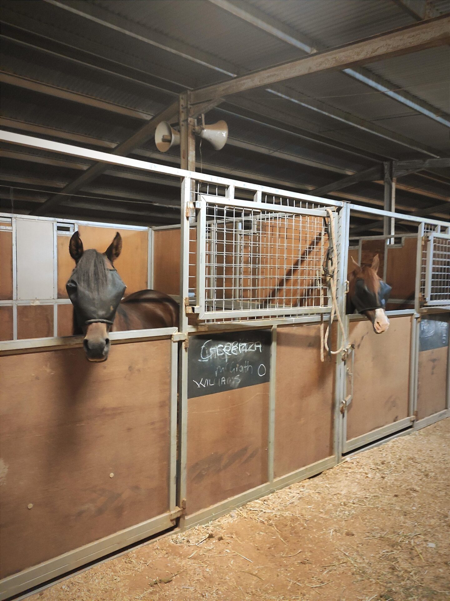
Dubbo! The halfway mark of our grand journey! This final stretch, following the highway to the town’s outskirts and west along Purvis Lane, was short and uneventful outside of the occasional rain. The horses are less than thrilled with being stabled at the Dubbo Showgrounds so we are considering an alternate spot outside town. But first, I think I’ll plan to catch the new Ghostbusters film.